Name: Lora Lai. City: Lora Lai. Airport name: Lora Lai. IATA code: LRG
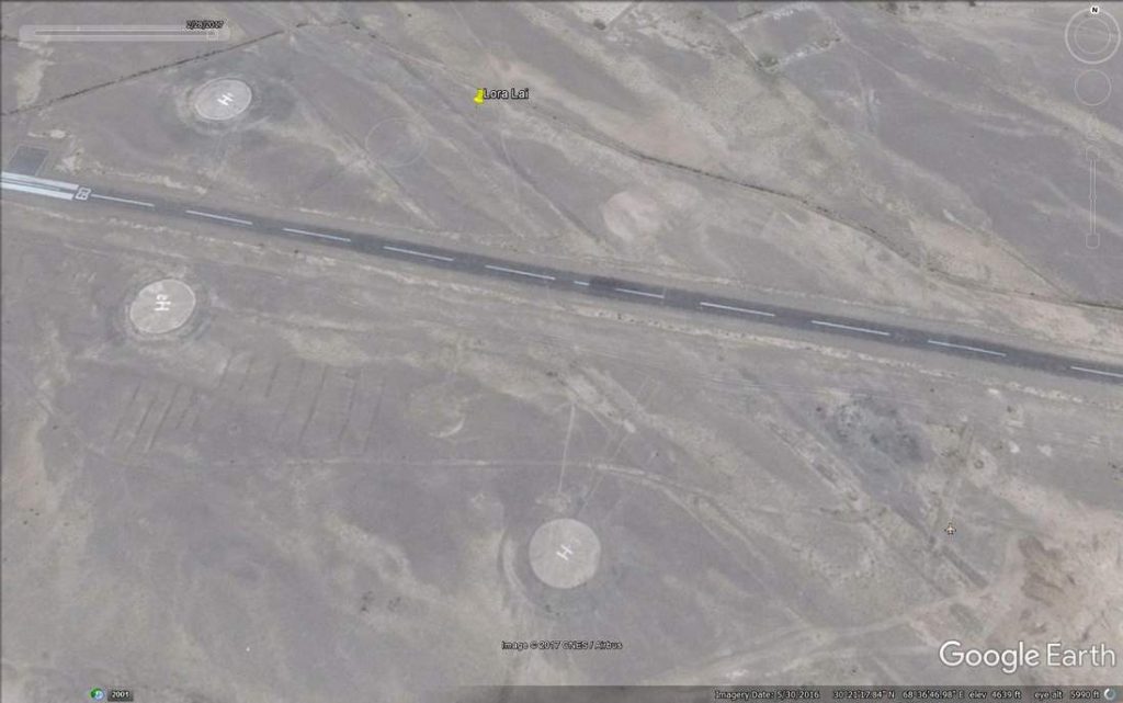
Type: Airstrip and a few helipads.
Location: Balochistan, Pakistan
Coordinates: 30°21′50″N 68°36′54″E
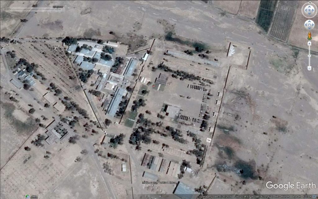
Comments: This seems to be a pretty nondescript patch of land with only a few interesting features. Runway length is 900 m, which makes it pretty unusable for most combat aircraft. There seems to be no civilian infrastructure or civil flights. This is more like a big village or a very small town.
Only interesting thing that I was able to find that Lora Lai is one of primary training centers for Frontier Corps which is mostly involved in operations in Balochistan.


Leave a Reply